
Fort Bend County Block Neighbors
Public sources describe the block around an address in layers. A map establishes where nearby parcels and street points sit. FBCAD can supply an appraisal-account and listed-owner lead. The County Clerk connects names to recorded instruments and legal descriptions. Community resources can add a boundary or organization contact. None of those sources is a complete roster of Fort Bend County neighbors, so each result should stay tied to the source and its date.
| Source | What It Shows About a Block | Access |
|---|---|---|
| GIS parcel and address layers | Mapped parcels, street points, boundaries, and public geographic overlays near the target. | Public map; confirm ownership with FBCAD or the Clerk. |
| FBCAD address search | Appraisal account and owner display where the search returns it. | Public eSearch; an assessment lead, not a household roll. |
| County Clerk recorded index | Recorded parties, instrument dates, document types, and legal-description connections. | Public party-centered index and Clerk copy process. |
| Sugar Land Neighborhood Registration | Voluntary registered neighborhood or HOA boundaries and public contact routes. | Municipal map; incomplete by the city's own caution. |
| Historical directories | Older address, phone, or occupant clues for the year in a consulted volume. | George Memorial and other library collection channels. |
Nearby parcel owners are not necessarily nearby household members. A mailing address can differ from the physical situs, and a recorded party can have a role other than ownership. Use the map to define the immediate block, then cross-check the particular property record before describing any connection.
Fort Bend County Neighbor Owner Check
After identifying an adjacent parcel on the map, use FBCAD eSearch to compare the situs, listed owner, Quick Ref or Geographic ID, tax year, and legal-description lead. FBCAD is the appraisal and property-account source, while the map supplies the spatial relationship. Record both sides of the comparison. An adjacent polygon alone does not establish who owns it.
For a title question, move from the owner name or legal description to the County Clerk's Official Public Records index. Search by party, grantor, grantee, date filed, instrument number, or document type. A deed can connect a named party to the parcel's legal description, but a lien, release, or power of attorney may reflect another relationship. This cross-check is more reliable than treating one display as a full account of the block.
Fort Bend County Neighbor Address Context
The GIS address-point data can distinguish city, postal city, ZIP, county, state, address class, aliases, and a city, ETJ, or unincorporated context. Those fields help explain why two nearby addresses can use different postal labels or why an address may fall under a different permit authority. Unit-related data exists in the service schema but is not part of the basic public address display.
Preserve the raw address first, then compare its directional, suffix, postal city, and ZIP with the map and FBCAD situs. A ZIP is useful geographic context, but it is not a municipal boundary. This matters across Fort Bend County, where communities and postal service areas often overlap.
Note: Label each result as county GIS, FBCAD, County Clerk, postal, or municipal information so a later reader can see which authority supplied the detail.
Map Fort Bend County Neighbor Parcels
The county's adjacent-parcel method is a visual browse, not a public block-list tool. Begin with the target address, zoom to its parcel, turn on parcel and boundary layers, and inspect the polygons and address points immediately around it. The research did not capture a current buffer, radius, or select-by-distance feature, so the immediate visual comparison is the defensible method. Keep the target parcel separate from each adjacent parcel as you review it.
- Find the target in the Fort Bend County GIS portal using the full address and any reasonable address variant.
- Zoom to the location and enable parcel or boundary layers. Note the visible parcel edges, address points, city or ETJ setting, and postal context.
- Click the target, then inspect only the immediately surrounding polygons and address points. Save the parcel or account lead associated with each separate property.
- Check each selected property in FBCAD, then use the Clerk index when a legal description or deed-chain confirmation is needed.
- Retain the map date and source URL with the results, because parcel displays and public layers can change.
For a named road rather than its immediate block, use the Fort Bend County street directory workflow. It expands the address trail through the appraisal record, legal description, permits, precinct context, and historical clues without turning a parcel map into a household list.
Fort Bend County Neighbor Registration
Sugar Land offers a documented municipal community layer through its Neighborhood Registration program. Participation is voluntary. A registered neighborhood or HOA can provide its name, public contact route, boundary information, map display, and city-notification or program connection. The city warns by implication of the voluntary process that absence from the map is not proof an organization, neighborhood, or resident does not exist. It is a local example, not a Fort Bend County-wide registry.
Sugar Land's Neighborhood Registration program is the source for this Fort Bend County neighbors image.
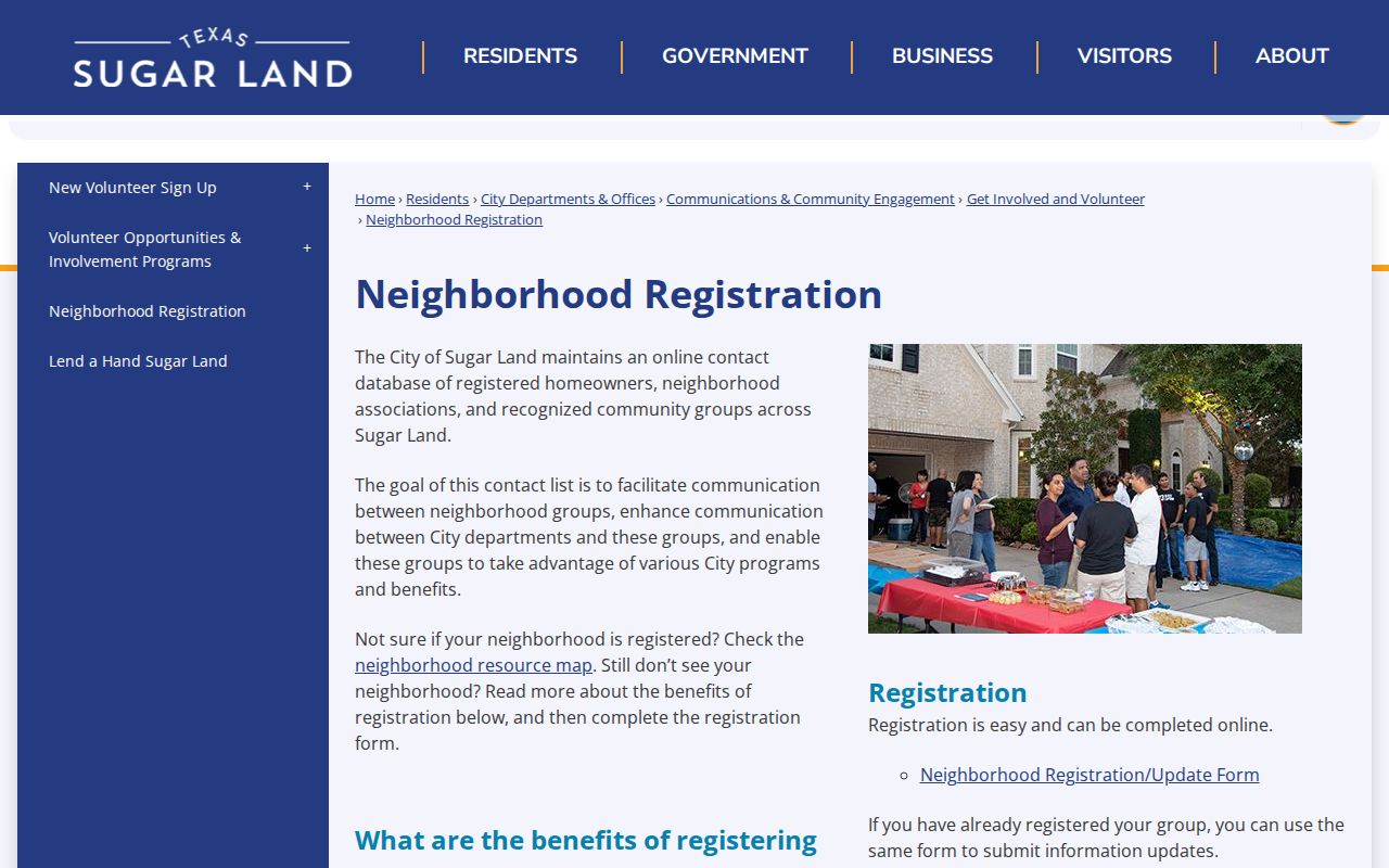
The registry is useful for an organization boundary or contact path, not for identifying members or deciding who lives at an address.
| Community resource | Public use | Boundary to retain |
|---|---|---|
| Neighborhood Registration | Registered organization name, contact route, and mapped boundary. | Voluntary coverage and registration status. |
| Neighborhood names on the city layer | Search variants for a map, plat, or civic contact. | Examples are not a membership or resident roster. |
| Public organization page | Officially posted event or contact information, when available. | Use only the source's stated geography and date. |
Community labels are time-stamped search terms, not fixed proof of a person's location. A subdivision name in a recorded deed, historical directory, or older map may differ from the label on a current municipal display. Preserve the spelling, source, and date of each version. That small record trail can explain a map mismatch without converting a voluntary organization listing into evidence about a particular household.
Sugar Land Neighbor Contacts
Sugar Land Neighbors provides public neighborhood and HOA contact or event routes that add a civic layer to the parcel map. It can be a sensible way to find an organization contact after the address has been placed in the correct municipal and subdivision context. It should not be used to infer membership, household composition, or the current residents of a property.
Sugar Land Neighbors is the source for this Fort Bend County neighbors image.
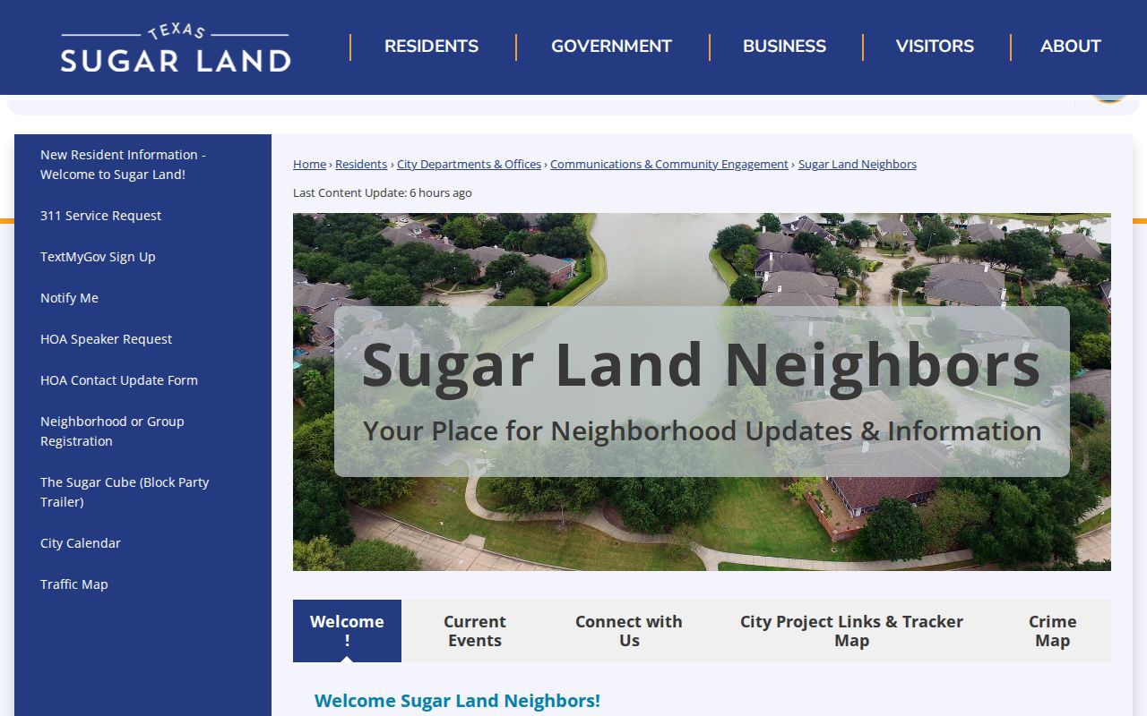
The public routes shown here point toward organization information, rather than a list of individual neighbors.
First Colony, Sugar Creek, Sugar Lakes, Telfair, Commonwealth, Barrington Place, Riverpark on Brazos, and Settlers Park appear in the local research as examples from Sugar Land's layer. They are useful names to preserve as map or plat search variants. They are not verified rosters, proof of affiliation, or a countywide inventory.
Fort Bend County Neighbor Categories
The Central Fort Bend Chamber member directory searches member businesses by category, name, and ZIP. It can provide a public civic or business lead near a block, but it is not a neighbor list and should not be used as one. The same distinction applies to commercial neighbor-lookup categories, which can combine public filings, marketing data, and old addresses without showing their source dates or relationship to a specific parcel.
The Central Fort Bend Chamber member directory is the source for this Fort Bend County neighbors image.
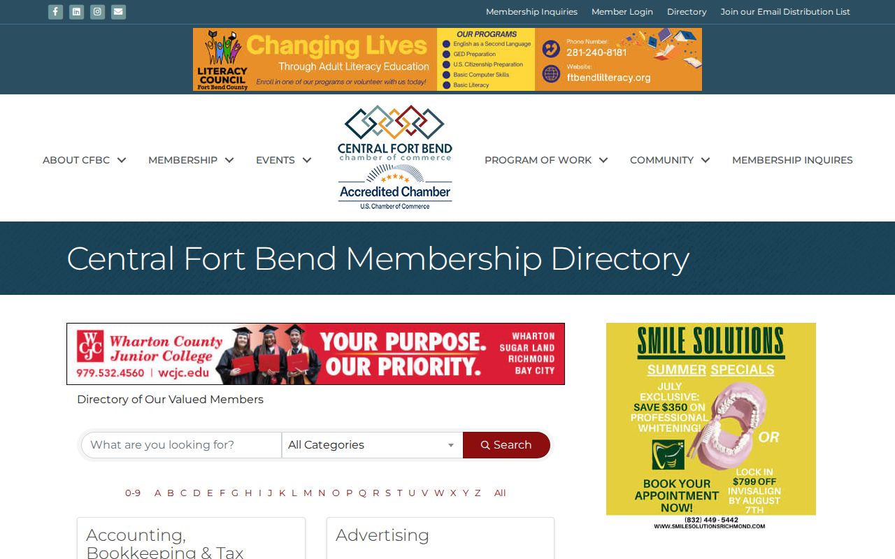
The Chamber result is an organization record, not evidence that a business address is a residence or that a person belongs to a nearby household.
| Official or organization source | Commercial compilation category | Best practice |
|---|---|---|
| GIS, FBCAD, and Clerk records identify the issuing authority and record type. | May merge filings, marketing data, and historical addresses from different dates. | Verify a claim with the original custodian and preserve its date. |
| Neighborhood registration provides a voluntary boundary or contact route. | May imply a community connection without a current boundary or source record. | Treat organization data as a contact lead, not a resident list. |
Privacy Limits for Fort Bend County Neighbors
Fort Bend's voter inquiry is an individual lookup, not a public block roster. A broader voter-file request has its own lawful process, confidentiality rules, and county warning about commercial use. A voter result is not proof of present physical residence or voting choices. Web suppression, confidential registration fields, and protected-person programs can limit what is shown or released. Do not copy a VUID, date of birth, phone number, protected address, or other sensitive value into a public list.
Renters, household members, utility customers, delivery recipients, and unlisted people are not supplied by the parcel map. Texas's Address Confidentiality Program provides a substitute address and mail forwarding for eligible survivors of family violence, sexual assault, and stalking. It is different from an ordinary web-suppression request and should never be treated as an invitation to republish a protected address. An appraisal owner or recorded party may also be different from the person currently present at a property.
Lawful use. Use Fort Bend County neighbor records for personal research, local history, property context, or a public organization contact. Do not use them to watch, stalk, harass, intimidate, or harm anyone.
Privacy questions belong with the custodian of the original record. Texas public-record, voter-suppression, and confidentiality procedures are source-specific, and a request to remove a private listing does not erase an official source record.