
Fort Bend County ZIP Code Coverage
The county Social Services service-area list contains 34 ZIPs. That list establishes service-area coverage, not city limits or a single postal-city answer for every address. The representative entries below use place-to-ZIP leads from the county broadband study. The Post Office column is therefore a postal-city lead, not a claim that a named station serves every address. Confirm a delivery address with USPS before relying on any postal label.
| ZIP | Areas Covered | Post Office | Notes |
|---|---|---|---|
| 77053 | Four Corners; Missouri City edge | Houston postal-city lead | Verify city line and delivery city. |
| 77083 | Four Corners; Mission Bend | Houston postal-city lead | Crosses county and city context. |
| 77406 | Fulshear; Pecan Grove; Richmond | Richmond postal-city lead | Multiple communities. |
| 77441 | Fulshear; Weston Lakes | Fulshear postal-city lead | Multiple communities. |
| 77450 | Cinco Ranch | Katy postal-city lead | Confirm exact address. |
| 77459 | Missouri City; Sienna | Missouri City postal-city lead | Multiple communities. |
| 77469 | Fairchilds; Pleak; Richmond; Rosenberg; Sugar Land; Thompsons | Richmond postal-city lead | Large multi-place area. |
| 77471 | Cumings; Pleak; Rosenberg | Rosenberg postal-city lead | Multiple communities. |
| 77478 | Sugar Land | Sugar Land postal-city lead | City-focused postal area. |
| 77479 | Greatwood; Missouri City; New Territory; Sugar Land | Sugar Land postal-city lead | Multiple communities. |
| 77494 | Cinco Ranch; Fulshear; Katy | Katy postal-city lead | Multiple communities. |
| 77498 | Four Corners; Sugar Land | Sugar Land postal-city lead | Multiple communities. |
| 77583 | Arcola; Fresno; Pearland; Sienna | Rosharon/Pearland-area lead | County edges require checking. |
The full Fort Bend County service-area list includes all 34 entries. The county’s place pairs are a practical starting point, especially where Fulshear, Missouri City, Sugar Land, or Rosenberg appears beside more than one ZIP. They are not proof that a postal area is the same thing as an incorporated place.
Fort Bend County ZIP Code Pairs
The county broadband study shows why a place-name search can miss useful postal variants. Cinco Ranch appears with 77450 and 77494. Fulshear appears with 77406, 77441, and 77494. Missouri City appears with 77459, 77479, 77489, and 77545. Sugar Land appears with 77469, 77478, 77479, and 77498. Those are place-to-ZIP leads, not claims that a ZIP is a municipal boundary or that every address in a community receives one mailing label.
Keep community, subdivision, postal city, and municipal names as separate pieces of information. A historical directory, deed, or utility document may use an older or more local label than the delivery address. That difference can help locate the right place, but it should never be silently rewritten as a boundary decision.
Several county-service entries also sit at an edge. The source specifically cautions that 77053 and 77083 need a delivery-city and city-line check, while 77469 spans a large group of named places. A surrounding county or city can share the same postal context. For that reason, retain the address’s county and jurisdiction from the government record that supplied them, even when the postal city looks more familiar.
Note: A ZIP label narrows a search area; the address, parcel, and legal description remain the stronger record identifiers.
Search Fort Bend County ZIP Codes
Finding residents within one postal area is an address-normalization task, not a countywide name sweep. The research did not capture a ZIP-specific field in FBCAD’s advanced search, so do not assume the appraisal district can return a complete ZIP list. Use the postal value to organize an address check, then use the documented street, owner, parcel, and legal-description paths. Election maps can add dated precinct context, but a voter result is not proof of a current residence.
- Preserve the raw address exactly as it appears in the source, including unit, directional, and postal label.
- Use USPS ZIP Code Lookup to check the mailing-format result for that address.
- Check the GIS address point for postal city, city or ETJ or unincorporated status, alias, and address class.
- Search FBCAD with the documented street number and street name, then preserve the current situs and account identifier.
- Use the County Clerk’s recorded instruments for the legal description and party trail. Retain the authority and date for each value.
Once the address is narrowed, the Fort Bend County street address directory handles the separate parcel and street-by-street sequence. For election geography, the county Voter Street Guide and precinct maps provide context that should be tied to the election year.
Fort Bend County ZIP Search Fields
FBCAD provides Owner, Address, ID, and Advanced Search modes. Its documented advanced controls can help after a mailing address has been verified, but they are not a documented postal-area filter. Use the fields below to locate a particular parcel or owner, then keep the source labels separate from the delivery label. The page identifies a 2026 certified roll, while displayed values can still change.
| FBCAD field | Documented use | ZIP limitation |
|---|---|---|
| Owner Name | Search a first, last, or business name. | Does not create a ZIP-wide resident result. |
| Street Number and Street Name | Locate an address; a simpler street search can help. | Use only after postal formatting is checked. |
| Quick Ref ID, Geographic ID, or Owner ID | Return a known parcel or account lead. | Identifier is not a postal boundary. |
| Subdivision, Condo, or Neighborhood | Refine a property grouping. | Development labels can cross or differ from postal labels. |
| Tax Year | Time-stamp the appraisal roll. | Does not establish current delivery status. |
FBCAD’s owner display, situs, mailing clue, and values belong to an appraisal record. A mailing address is where correspondence may go, not proof that an owner occupies the Fort Bend County property. The clerk’s party-centered Official Public Records index is the next record layer when a legal description or recorded ownership trail is needed.
The GIS address-point record can add a street suffix, alias, city, postal city, ZIP, county, state, and address-class context. Its public basic display does not include a unit field, so an apartment or suite should remain in the raw address until another source confirms it. Compare the parcel identifier from the map or FBCAD with the legal description from the Clerk before treating two similarly numbered addresses as the same property.
Fort Bend County ZIP GIS Layers
The county GIS address-point service distinguishes city, postal city, ZIP, county, state, address class, alias, and update fields. Its published ZIP polygon layer is sourced to Census data and can be queried for spatial overlays. That makes it useful for seeing a general relationship between parcels and a ZIP-shaped area. It is not the authority for the delivery city printed on mail.
The reviewed official material does not document a current ZIP realignment or a complete countywide postal-city crosswalk. Do not infer one from a map edge. For an individual address, retain the raw source, USPS result, GIS attributes, FBCAD situs, and County Clerk legal description rather than choosing one as the only correct label.
The county Elections maps add a Voter Street Guide and precinct maps for election geography. They can help explain a dated district or precinct assignment after the address is normalized. They do not convert a ZIP polygon into a current resident list, and any precinct finding should keep the election year beside it.
Fort Bend County ZIP Address Checks
USPS is the delivery authority when a record needs a mailing-format answer. Begin with the complete street address, including the unit when present. The result can help standardize the postal city and ZIP before a parcel search. It does not resolve ownership, city jurisdiction, or a deed’s legal description. Those require the county and municipal sources that created the underlying record.
USPS ZIP Code Lookup supplies the address and postal-city verification step.
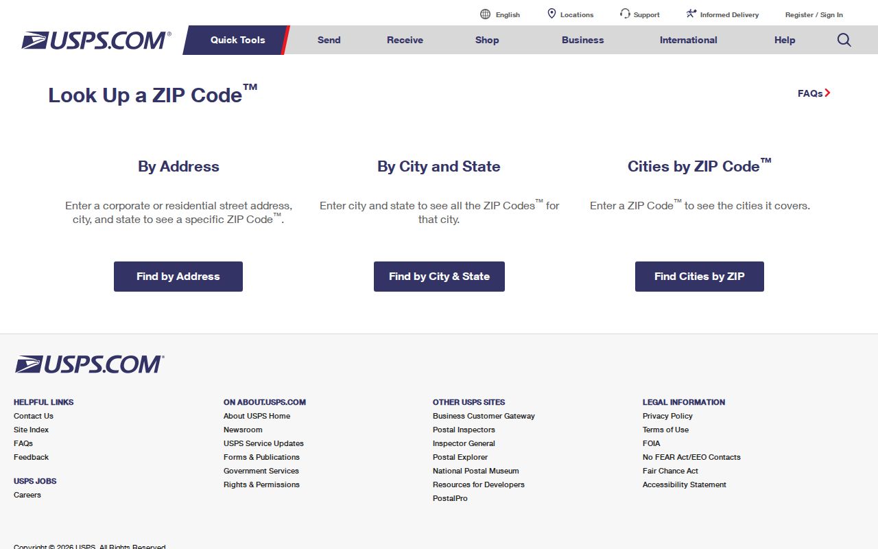
Use the USPS result beside, not in place of, the GIS and appraisal records. A clean delivery format prevents a miss caused by a directional, suffix, unit, or postal-city variation.
Fort Bend County ZIP Mismatches
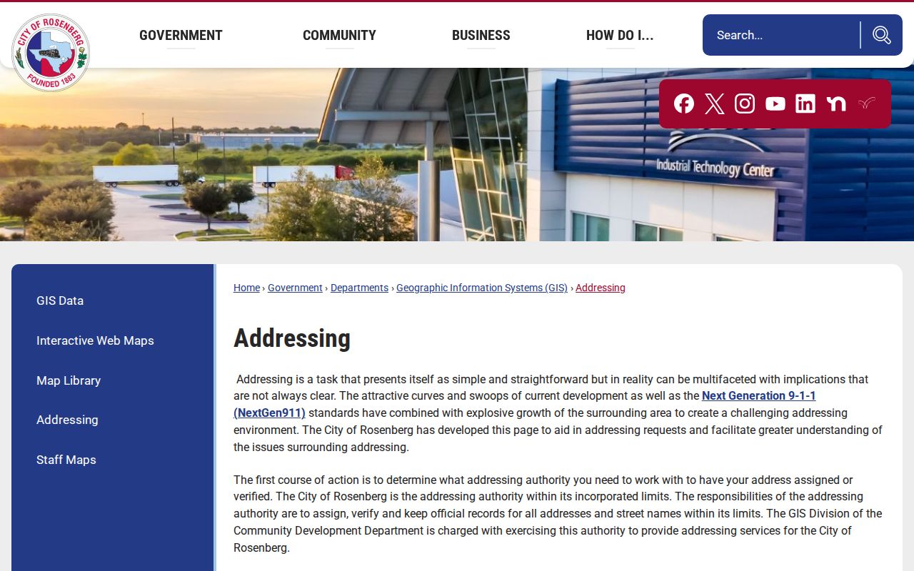
A ZIP can cross a city limit, and an address in an unincorporated area can use a nearby city as its postal city. Rosenberg’s city guidance identifies 77471 and 77469 and directs users to USPS verification. That local example is a reminder that postal city, GIS city or ETJ status, FBCAD situs, and a County Clerk legal description can all differ without contradicting each other.
Rosenberg’s addressing guidance describes the city’s role and its ZIP verification direction.
Record each label with the office that supplied it. That preserves a useful address history without recasting a postal convention as a jurisdictional fact.
- ZIP and ZIP+4
- A ZIP identifies a postal delivery area. ZIP+4 adds delivery-level sorting detail and does not identify a city boundary.
- PO-box ZIP
- A ZIP may be used for post-office boxes. Verify the physical address separately when one matters to a record search.
- Unique ZIP
- A unique ZIP can serve a single institution or delivery use. No specific Fort Bend example was verified in the reviewed material.
- Carrier route
- A carrier route is a postal delivery grouping. It is not a finding about a parcel owner or resident.
Fort Bend County Postal Context
Fort Bend’s historic communities and newer subdivisions make address labels especially important. A person may be linked to a Richmond directory, a Sugar Land postal city, a Fulshear subdivision plat, or an unincorporated permit record at different times. The geographic record is clearer when each label stays in its own field. Community names such as Greatwood, Sienna, New Territory, Pecan Grove, Four Corners, and Weston Lakes are useful search variants, but they do not replace the parcel or legal description.
The strongest address file is a short authority chain: raw address, USPS delivery form, GIS city or ETJ or unincorporated classification, FBCAD situs and account, then the County Clerk’s legal description and recorded instrument. It gives later readers a way to reproduce the check without overstating what a ZIP can prove.
Boundary notice. Never treat a Fort Bend County ZIP code or postal city as proof of a municipal boundary, county boundary, owner, or current occupant.